
Faculty of Forestry and Cadastre
Land Surveying and Cadastre
Train competent, responsible, and well-prepared specialists, capable of managing the complex tasks associated with geodesy and cadastre
Level of Study
Bachelor
No. ETCS Credits
240
Years of study
4
Languages
English, Romanian
ABOUT
Program Description
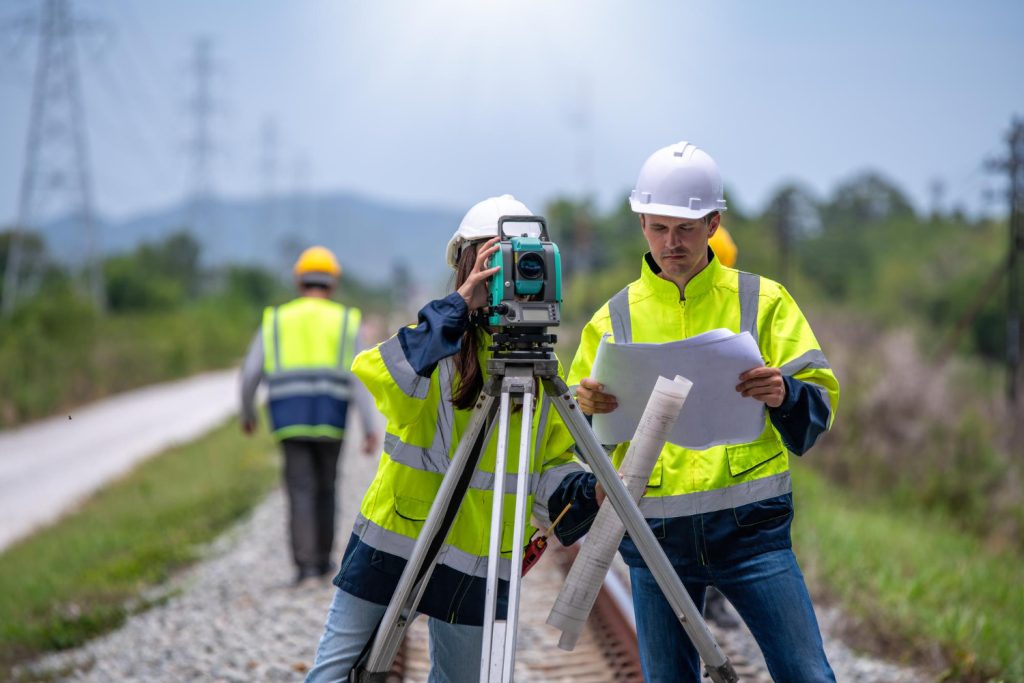
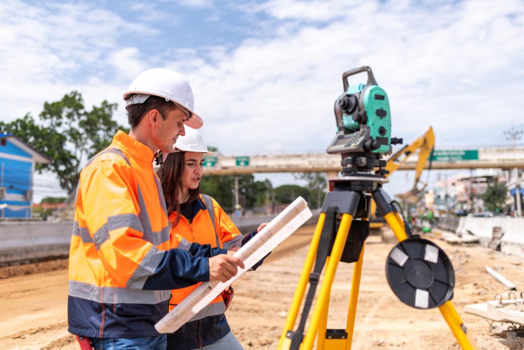
The Land Surveying and Cadastre Bachelor’s program, offered by the Faculty of Forestry and Cadastre at UASVM Cluj-Napoca and launched in 2024, provides high-level European training for the profession of geodetic engineer, in alignment with ESCO standards.
The program aims to train specialists in land surveying and cadastre to develop the ability to apply modern technologies such as UAV, GNSS, and GIS across various fields, including agriculture, forestry, infrastructure, and urban planning. Its mission is to modernize and harmonize cadastral practices, contributing to sustainable development and the efficient management of land resources.
Graduates are well-prepared to integrate into the global professional landscape and apply their expertise to meet current demands in geodetic engineering. They can pursue diverse career paths in Romania and internationally, including roles as geodetic engineers, valuation experts, GIS specialists, cadastral consultants, construction surveyors, or professionals engaged in international projects. The program ensures an education aligned with the European and international standards, thus enhancing graduates’ competitiveness in the global job market.
ABOUT
Objectives
The objectives of the Land Surveying and Cadastre study program focus on developing a strong academic and professional foundation tailored to the current demands of the labor market. These objectives aim to enhance employability, support students’ personal and professional development, build both general and specialized competencies, and prepare students to understand and take on the responsibilities of the geodetic engineering profession.
The ultimate goal is to train competent, responsible, and well-prepared specialists, capable of managing the complex tasks associated with geodesy and cadastre, contributing to the optimization of land registration processes, and promoting the sustainable use of land resources.
The specific objectives of the program include:
- Developing the ability to analyze and interpret cadastral and geospatial data, essential for the preparation and updating of technical documentation;
- Understanding the principles of effective and accurate cadastral data management, in accordance with quality standards;
- Fostering ethical and responsible conduct in professional activities, with respect for confidentiality and property rights;
- Enhancing communication skills, teamwork, and interdisciplinary collaboration;
- Acquiring the knowledge required to use modern technologies and digital tools specific to the field of geodesy and cadastre.
Ready for the next step?
Enroll at USAMV Cluj-Napoca and upgrade your career path.