
Level of Study
Masters
No. ETCS Credits
120
Years of study
2
Languages
Romanian
ABOUT
Program Description
The Master’s degree program in Monitoring Systems and Cadastre, offered by the Faculty of Forestry and Cadastre at USAMV Cluj-Napoca, is part of the second cycle of higher education and is designed for graduates of Bachelor’s programs in Geodetic Engineering or related fields.
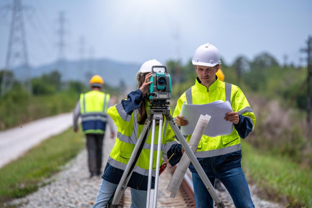
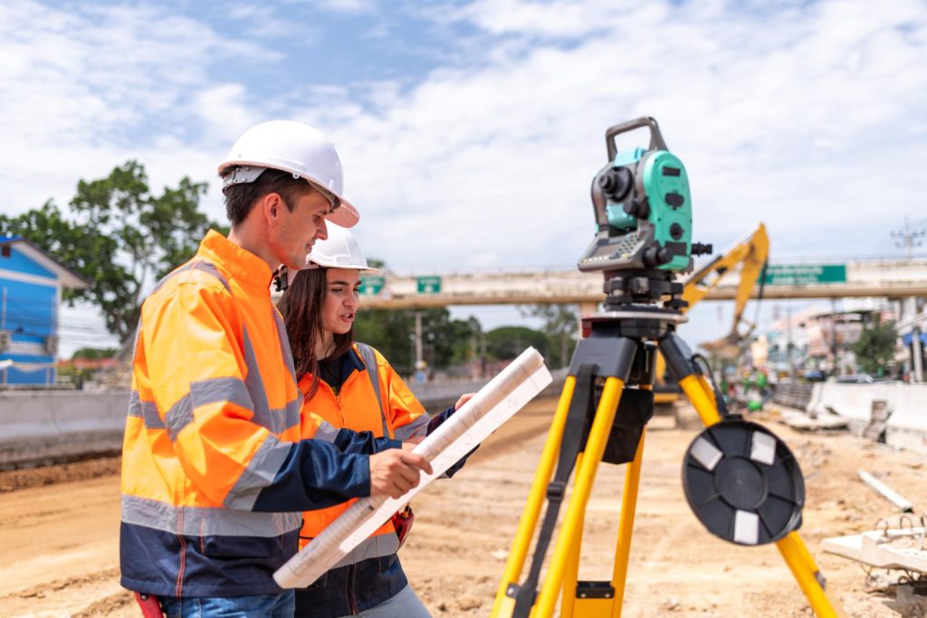
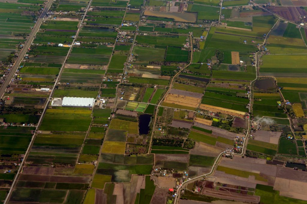
With a duration of two years (120 ECTS credits), the program provides advanced training in areas such as the use of sensors for topographic and cadastral measurements, geostatistics, 3D modeling, satellite-based positioning and monitoring methods, land stabilization, construction monitoring, use of UAS (Unmanned Aerial Systems) in cadastre, and remote sensing applied to smart territorial development—all in accordance with national and European legislative requirements.
The mission of the program is to prepare specialists capable of using cutting-edge technologies to address current challenges in cadastre, land monitoring, and sustainable spatial planning. Graduates will acquire both theoretical and practical skills, enabling them to integrate into multidisciplinary teams and engage in national and international geospatial projects.
ABOUT
Objectives
The Master’s program in Monitoring Systems and Cadastre aims to strengthen a solid academic and professional foundation, aligned with the current demands of the labor market. The program supports students’ personal and professional development, enhances their employability, fosters both general and specialized competencies, and prepares future geodetic engineers to take on the specific responsibilities of the profession.
Specific Objectives of the Program:
- Training specialists in advanced monitoring technologies – by developing the skills required to use topographic sensors, UAS platforms, GNSS technologies, and satellite-based methods for the monitoring of land and structures.
- Applying modern methods in cadastre – through hands-on training in remote sensing, 3D modeling, and Geographic Information Systems (GIS) for cadastral work and smart territorial development.
- Enhancing land analysis and diagnostics capabilities – by applying stabilization techniques, deformation monitoring, and geospatial data interpretation in the context of natural hazards or human-induced changes.
- Promoting integration into multidisciplinary and international teams – by developing collaboration skills essential for complex projects in infrastructure, environmental protection, and spatial planning.
- Fostering critical thinking and applied research – by engaging students in practical projects and scientific work that address current topics in geospatial monitoring and cadastre.
- Encouraging ethical and responsible conduct – by promoting responsible data management, respect for property rights, and adherence to national and European legal standards.
Ready for the next step?
Enroll at USAMV Cluj-Napoca and upgrade your career path.